

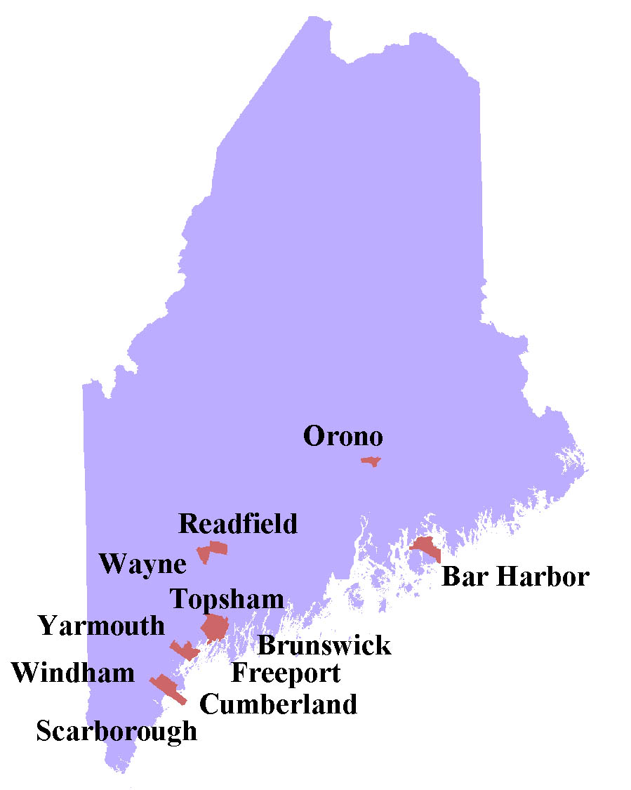
A Community Approach to Mapping Vernal Pool Resources
In 2007, Maine adopted legislation to regulate a subset of vernal pools that meet certain biological and hydrological criteria as Significant Wildlife Habitat. The Maine Vernal Pool Municipal Mapping and Assessment Project (VPMAP) served to educate communities about vernal pool ecology and lead them through the process of using citizen scientists to proactively map and survey vernal pool resources with special attention to identifying pools that meet the biological criteria for Significant Vernal Pools. The goals of the project were to:
1. Avoid loss of time and money for private landowners by way of free vernal pool surveys
2. Enable better-informed planning at a town-wide level
3. Encourage conservation at the local level that will serve to complement the top-down regulatory approach used by state and federal agencies
If your town is interested in following up on how to use the data, or needs assistance with processing the data, please contact us.
Since the program ended, a diverse stakeholder group organized by the University of Maine, has been working to develop an innovative, locally controlled vernal pool regulatory framework. You can read about this next step in the soon to be launched Page: The Vernal Pool Special Area Management Plan.
Recommended steps for mapping vernal pools at the local level
Materials referenced in Maine Municipal Guide
Our work is supported by: